Posts Tagged ‘Google Street View’

Familiar looking traffic lights on Google reCAPTCHA

Playing the ‘spot all squares’ game to solve a CAPTCHA gets old quickly, but the other day one of them caught myeye – is that set of traffic lights in Melbourne? The clues all add up: Australia Post mail box, and post office; Herald Sun sign on shop; a leafy green road with two lane […]

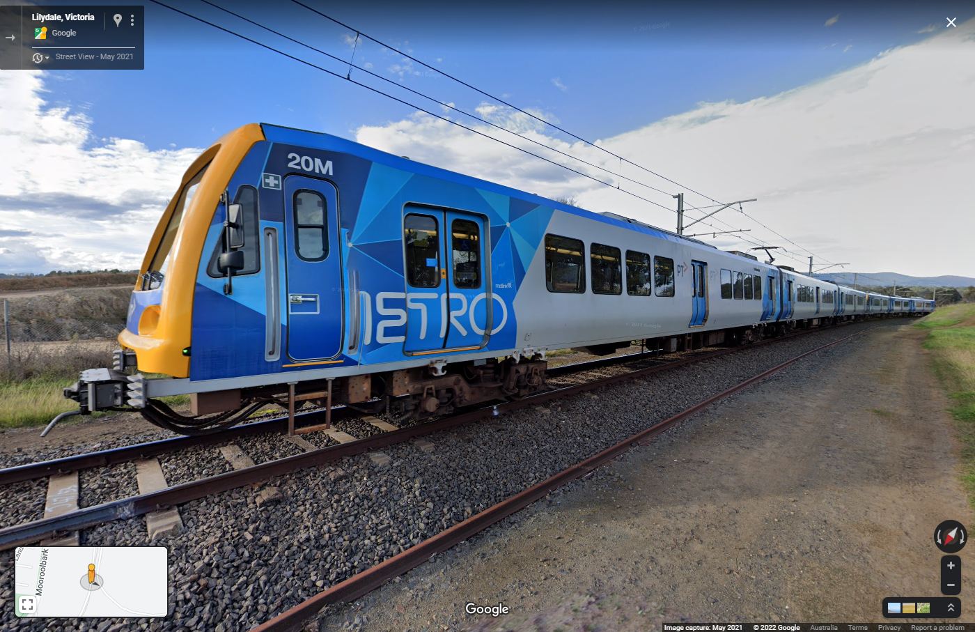
Google Street View drives down the tracks

For the past decade Google has sent their Street View cars all over Melbourne, but a mate of mine recently spotted on in an odd place – going for a drive down the tracks on the Lilydale line. This doesn’t look like a road, does it? But in September 2019 whoever was driving the Google […]

Backyard approaching lighting at Adelaide Airport

Located smack bang in the middle of South Australia’s capital city, Adelaide Airport has an interesting runway approach lighting system – located in suburban streets and residential backyards! Some background Adelaide Airport is located approximately 6 kilometres from the Adelaide CBD. With the suburbs of Brooklyn Park and West Richmond under the approach path to […]

On the trail of a high voltage transmission line

The other day I was reading The Age and saw a photo of scene I swear I’ve seen before, but I couldn’t put my finger on the exact location. So let’s go chase down some high voltage power lines, and see where they take us. Nicole Cleary photo via The Age On the trail The […]

Then and now via Google Street View

The other day I was trawling through Google Street View imagery while researching a future blog post, when I discovered something I had almost forgotten about – Google Street View now supports the ‘time’ dimension. So what was I able to find with my time machine?

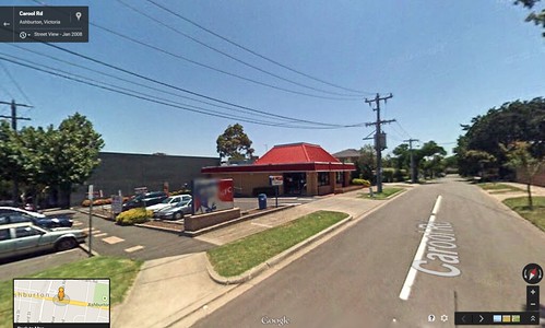
KFC restaurant - Cnr High Street & Carool Road, Ashburton, Victoria