Another instalment in my photos from ten years ago series – this time it is February 2013.
Ding ding
Metcard had been switched off.

The ‘safety’ zone tram stop on Epsom Road in Ascot Vale was copping a beating.

Route 19, 57 and 19 passengers didn’t have any platform stops along Elizabeth Street.

And the Colonial Tramcar Restaurant was still running lunch and dinner tours of Melbourne.

And trains
Evening peak would see massive crowds of pedestrians waiting to cross Spencer Street at Collins Street.

While on Friday nights, the queues would be at the V/Line booking office, waiting to buy a paper ticket.

South Yarra station was also becoming surrounded by new apartment blocks, but the single station entrance was struggling to cope – a problem not addressed until 2020.

But Footscray was getting an expanded station as part of the Regional Rail Link project.

The near-new footbridge demolished to make room for two additional platforms.

And Metro had unveiled a new infrastructure inspection train, in an attempt to address a spate of overhead wire failures crippling the rail network.

Things that are gone
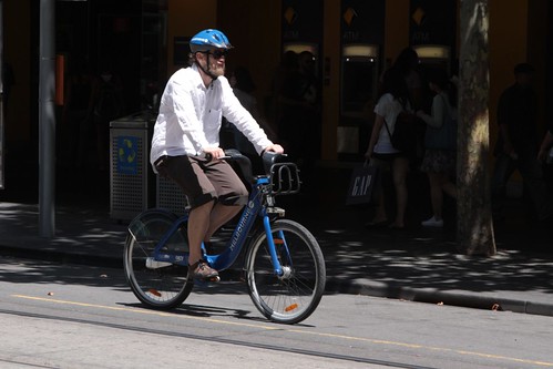
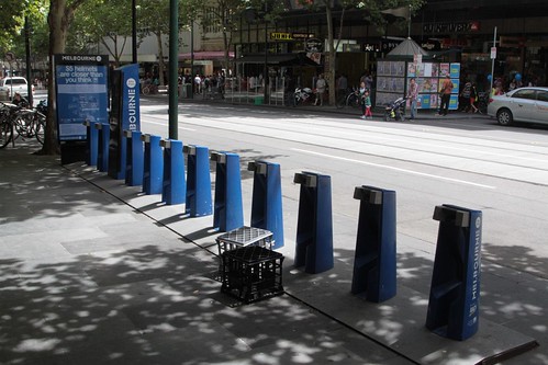
Melbourne Bike Share was still operating.
One of the operational costs being the need to resupply bikes to empty stands.
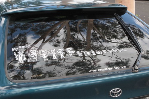
Remember the “My Family” sticker fad? By 2013 they were on the way out.
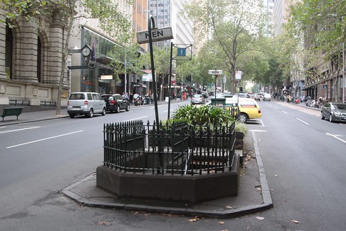
Heritage listed public toilet on Queen Street? It was decommissioned in June 2013 and capped with concrete.
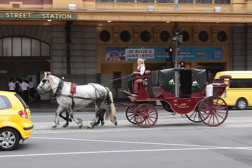
Horse drawn carriages leaving a trail of horse crap across the Melbourne CBD? They’re finally banned.
And Phillip Island
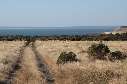
I headed out to Phillip Island, to look for the remains of the Summerland Estate. The only trace – a few dirt tracks.
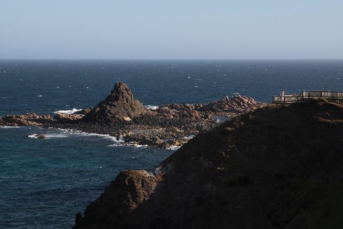
I also made a detour to Pyramid Rock.
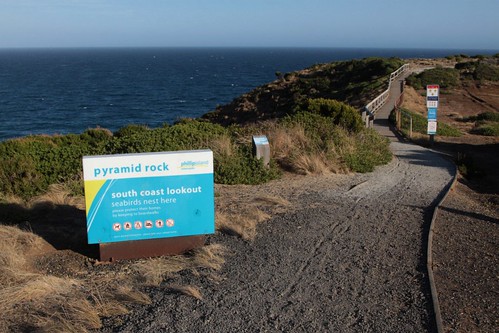
Which looked like the name suggested.
And on the way back I found a radio tower out in a paddock.
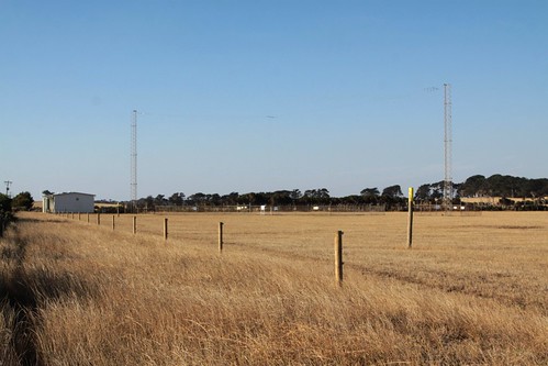
Turns out it was a non-directional beacon (NDB) used as an aviation navigational aid.
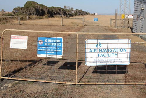
It was decommissioned in 2016 thanks to the popularity of GPS based navigation technology in general aviation.
Footnote
Here you can find the rest of my ‘photos from ten years ago‘ series.

Leave a Reply