After my adventure into the history of ‘Graham Street South’ in Sunshine, I ended up following another rabbit hole – the streets cut in half by the railway. Charles Daniel Photograph, SLV H2016.33/102 Early years The first white settlement near Sunshine was the village of Braybrook, established on the banks of the Maribyrnong River in […]
Posts Tagged ‘mystery’
Finding ‘Graham Street South’ in Sunshine
Many roads across Melbourne are subject to load limits, to prevent heavy trucks from passing through residential areas. But when I went for a wander around the streets of Sunshine I found a curious sign, referencing a street that doesn’t exist So what’s the story behind ‘Graham Street South’? Hot on the trail A check […]
Victorian level crossings to nowhere
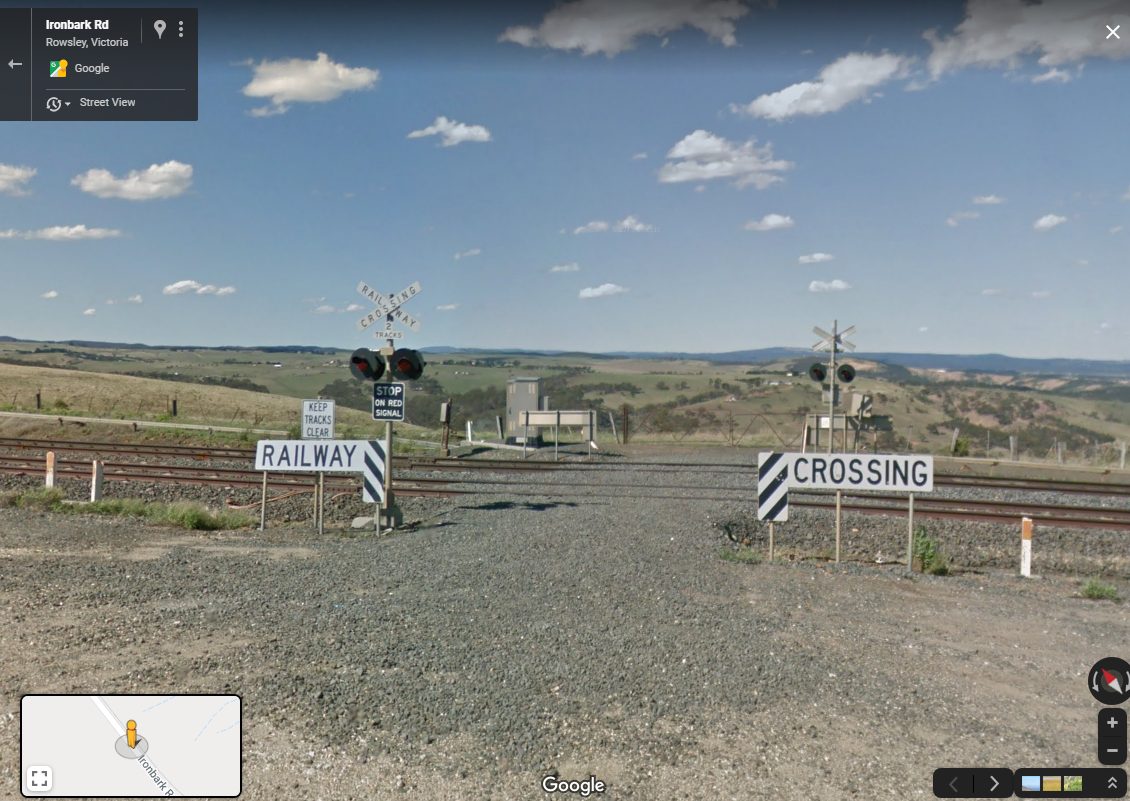
Across Melbourne the Level Crossing Removal Program is removing conflict points between road and rail vehicles, but elsewhere in Victoria there is something a little stranger -level crossings that lead nowhere. Google Street View In the paddocks of Bacchus Marsh Back in 2006 a level crossing on the recently upgraded Ballarat line outside Bacchus Marsh […]
On the road to nowhere in Rockbank
Years ago I was wandering through paddocks of Rockbank photographing trains, when I came across an odd sight – a ‘Road Closed’ sign hidden in the grass near the intersection of Hopkins Road and Greigs Road. So how did the road come to be? Going back to the gold rush A check of land titles […]
The ghost of Rosedale Estate in Melbourne’s west
This is the tale of Rosedale Estate in Chartwell, a failed subdivision on the western plains of Melbourne, midway between Werribee and Rockbank. Google Maps Early years The neat grid of streets stand out against the flat grasslands, 7 km south of Rockbank and 10 km north of Werribee. Land Victoria All with British names: […]