Posts Tagged ‘mapping’

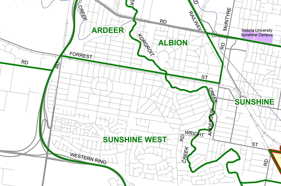
Stupid suburb boundaries of Melbourne

After my recent look at how Melbourne’s suburb boundaries were created in 1998, you might think they would be clear and logical lines drawn along main roads, freeways, railway lines, creeks and rivers. The answer – of course not! Discovering the mess! The story starts when I was randomly looking around in VicNames, which contains […]

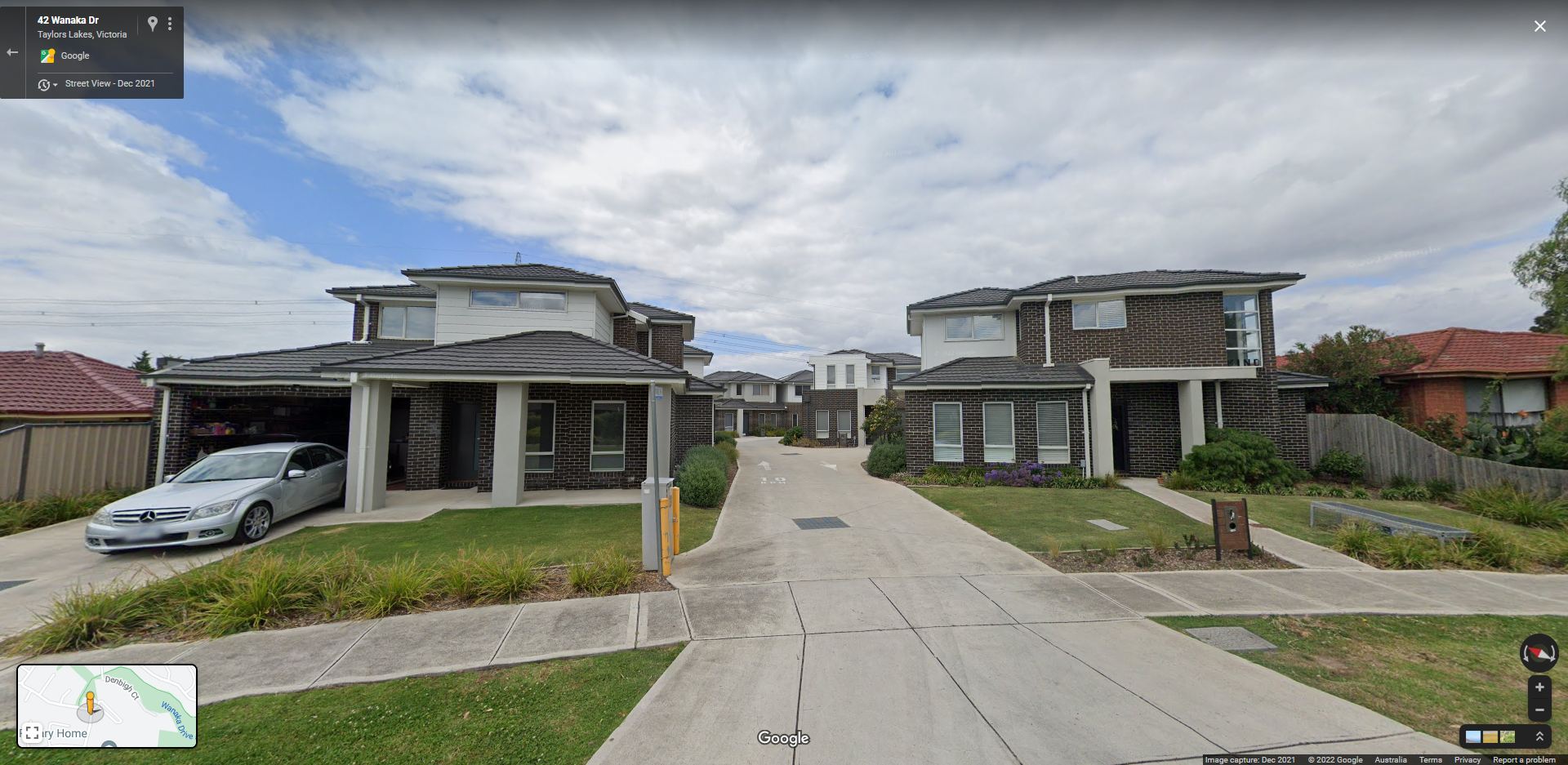
Kangaroo Paw Court – the house in two suburbs

After my recent deep dive into how suburb boundaries came to be and the changing boundaries of the City of Brimbank, I found another curiosity – a house located in two suburbs. Google Street View Down the rabbit hole The following line in Government Gazette G19 Thursday 10 May 2018, page 936, got me started. […]

Ardeer’s enclaves in Sunshine West

I’ve been writing a bit about suburbs in recent weeks, and here is the trigger for the whole rabbit hole – places called “Ardeer” that are located in the middle of Sunshine West. The boundaries Enclaves are a territory that is entirely surrounded by the territory of another, but the border between Sunshine West and […]

Melbourne suburbs – a time before boundaries

Finding out the boundaries of a given suburb in Melbourne these days is pretty easy – just head over to the Register of Geographic Names (aka VICNAMES) and it’s all there laid out in front of you – so it might be hard to believe they once existed on “vibes”. This is the story of […]

Where the hell is Truganina?

Truganina has been in the news a lot lately thanks to a series of coronavirus outbreaks, but there is something else notable about the suburb – it’s arguably the largest and most confusing suburb in all of Melbourne. The confusion starts In June 2021 a BP service station on the Western Freeway was reported as […]